
East Asia: Late-summer rain front now sits about 210 kilometers farther north
Data from 1979 to 2025 show the September front now reaches South Korea – and in such years, wet and hot days coincide far more often.
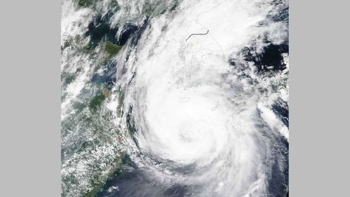
Symbolic image · Photo: MODIS Land Rapid Response Team, NASA GSFC / Wikimedia Commons, Public domain (cropped and resized)
East Asia's late-summer rain front has shifted markedly northward in recent decades, researchers from the APEC Climate Center and the Korea Advanced Institute of Science and Technology (KAIST) report in the journal npj Climate and Atmospheric Science, published online Oct. 11. The study uses ERA5 reanalysis data from the European Centre for Medium-Range Weather Forecasts for 1979 to 2025, comparing 1979–1998 with 2006–2025.
Between Sept. 10 and 30, the front now lies on average about 213 kilometers farther north, and about 146 kilometers during the main season from late June to mid-July. Where it once sat over the Yangtze basin and the sea south of Jeju island, it now reaches the southern Korean Peninsula. In years with a northern position, days combining heavy rain and heat were 8 to 19 times more frequent, or 3 to 9 times after removing long-term trends, and heat stress rose by more than 0.4 degrees Celsius.
Fronts supply about 40% of East Asia's summer rainfall, the authors said. "This study shows that not only the intensity but also the position of fronts is changing," KAIST researcher Hyungjun Kim said. The findings are based on reconstructed observations (reanalysis), not projections of the future; the release gives no error ranges for the shifts.