
NASA satellites show 2026 El Niño resembling the very strong 1997 event
Sea level data show warm water reaching South America’s coast. Copernicus measures record ocean temperatures, while NOAA sees a strong event as very likely.
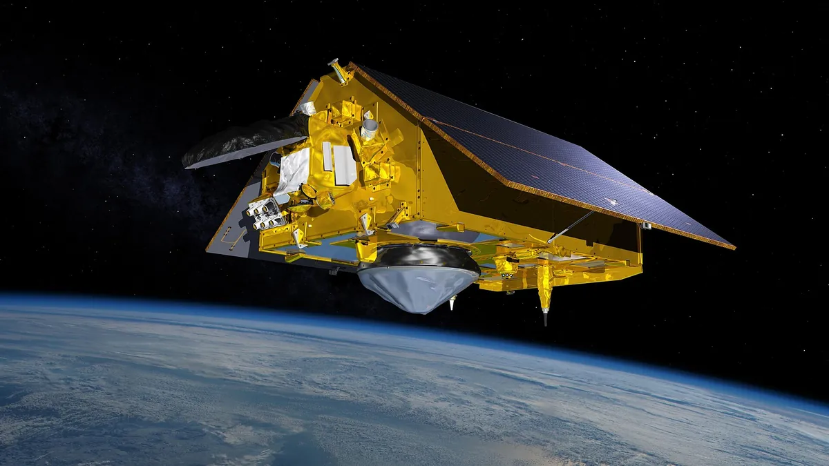
Symbolic image · Photo: NASA / Wikimedia Commons, Public domain (cropped and resized)
The current El Niño event in the Pacific resembles in its pattern that of 1997-98, one of the most recent very strong El Niño events, according to an analysis by NASA Earth Observatory dated Oct. 23, 2026. It is based on data from the TOPEX/Poseidon (1997), Jason-2 (2015) and Sentinel-6 Michael Freilich (Oct. 12, 2026) satellites, processed with data from researchers at NASA’s Jet Propulsion Laboratory (JPL). As in 1997, elevated warm water extends all the way to the coast of South America; in 2015 it stayed farther offshore. This year’s event, however, developed much more abruptly, NASA said. JPL oceanographer Josh Willis said it is currently “on track to be even bigger.”
Measured values come from the EU’s Copernicus climate service (C3S/ECMWF, bulletin of Oct. 12, 2026): the sea surface between 60° South and 60° North averaged 21.05 °C in September, the highest September value ever recorded, according to C3S (2023: 20.92 °C). In the Niño 3.4 region of the Pacific, the monthly value was 29.70 °C, an all-time high. Globally, at 1.63 °C above pre-industrial levels, it was the second-warmest September on record.
The outlook consists of forecasts: on Oct. 8, 2026, the U.S. weather agency NOAA put the probability of a strong to very strong El Niño lasting into the first three months of 2027 at 83 percent, NASA reported. The World Meteorological Organization (WMO) expects a multi-model average Niño 3.4 temperature anomaly of about +3.7 °C for October to December, peaking around December. El Niño is a natural fluctuation that adds to human-caused warming. Willis stressed the uncertainty, saying forecasts always involve “a little bit of rolling the dice.”