
Alps, Arctic, Caribbean: new Sentinel-3C satellite sends first images of Earth
Europe's Sentinel-3C Earth observation satellite has returned its first images, showing the snowy Alps, icy Arctic islands and turquoise shallows around the Bahamas.
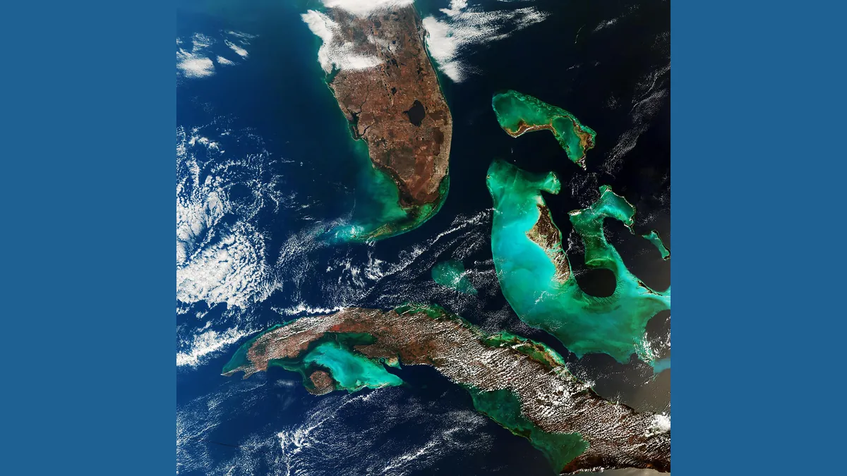
Symbolic image · Photo: European Space Agency / Wikimedia Commons, Attribution (cropped and resized)
Europe's new Earth observation satellite Sentinel-3C has sent back its first images. One, captured on Sept. 30, stretches from southern Germany across the Italian peninsula and Sicily to the southern Mediterranean. It shows the snow-covered Alps, the Po Valley, the Adriatic and Tyrrhenian seas and Sardinia. The Balkan Peninsula is partly visible, while Corsica is largely hidden by clouds. ScienceDaily reported on the images on Oct. 12.
A second image from Sept. 30 shows the Canadian Arctic Archipelago west of Greenland. Many islands are covered in snow and ice, and fragments of sea ice float in open water. The third, from Sept. 29, comes from the Caribbean: Cuba sits near the bottom of the scene and the Bahamas toward the top, ringed by turquoise shallows. The colors of the shallow waters between the islands are among the most striking views from space.
Besides cameras, Sentinel-3C carries a radar altimeter. Between Sept. 30 and Oct. 4 it measured the surface elevation of the Greenland Ice Sheet, and over the Atlantic Ocean and Mediterranean Sea it collected sea surface height data. The satellite is part of Europe's Copernicus program and joins the Sentinel-3 satellites already in orbit. The European Space Agency also released videos about the mission.
This article is for information only and is not legal, tax, financial or medical advice. Figures as of the date stated.